Thailand Issues 5-Day Flood Warning for 61 Provinces as Monsoon Intensifies

Thailand's Department of Meteorology (TMD) issued its fourth heavy-rain warning at 5 a.m. on July 25, alerting residents to five consecutive days of heavy to very heavy rainfall from July 26–30, 2026. The Department of Disaster Prevention and Mitigation (DDPM) has placed 61 provinces and Bangkok on alert for flash floods, mudslides and rough seas — effective immediately from today.
The warning is the most extensive of Thailand's 2026 monsoon season so far, touching virtually every region of the country.
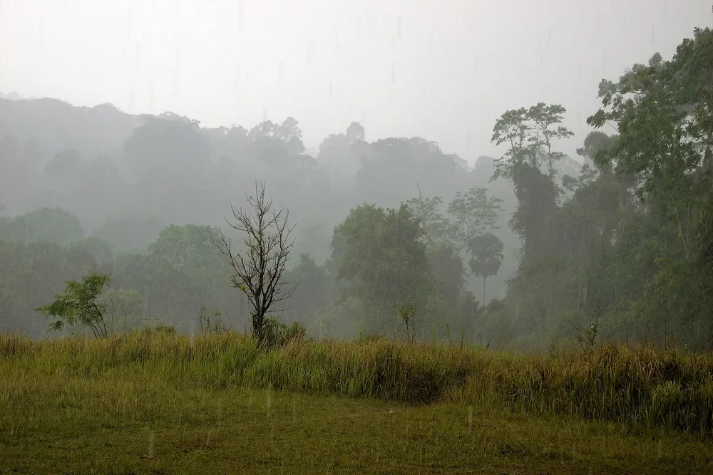
Why Is the Rain So Heavy? The Meteorological Cause
This is not an ordinary afternoon downpour. Two large-scale weather systems are converging over Thailand simultaneously.
A monsoon trough will cross upper North and upper Northeast Thailand, while the southwest monsoon over the Andaman Sea, the Gulf of Thailand and the country itself is strengthening. The combination drives enormous volumes of moisture inland, producing dense rain clouds and prolonged heavy showers across most of the country.
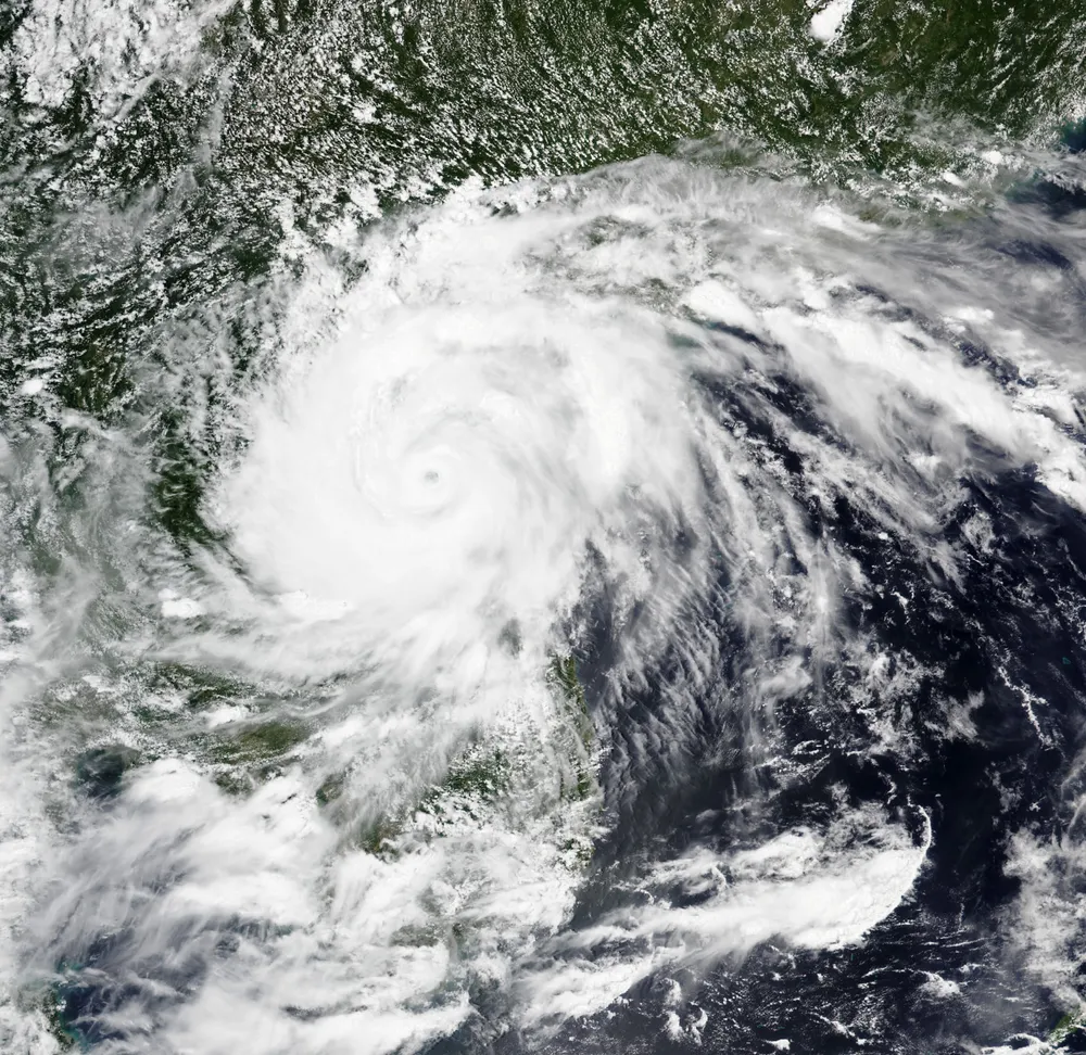
Adding fuel to the system, Severe Tropical Storm Noul is tracking across the South China Sea and is expected to make landfall in Guangdong province, China on July 26. While the storm is not entering Thailand, it is boosting regional moisture and intensifying the southwest monsoon over both the Gulf of Thailand and the Andaman Sea — pushing already-heavy rainfall to very-heavy levels in the most exposed areas.
Which Regions Are at Greatest Risk?
The TMD has graded warnings by severity:
Red alert — very heavy rainfall:
- Eastern Thailand: Chanthaburi, Trat, Chon Buri, Rayong, Sa Kaeo
- Western coast of the South: Ranong, Phang Nga, Phuket, Krabi, Trang
- Northeastern border: Nong Khai, Bueng Kan, Nakhon Phanom
Orange watch — heavy rainfall:
- Northern Thailand (14 provinces): Mae Hong Son, Chiang Mai, Chiang Rai, Phayao, Nan, Uttaradit, Tak, Sukhothai, Kamphaeng Phet, Phitsanulok, Phichit, Phetchabun, Nakhon Sawan, Uthai Thani
- Northeastern Thailand (18 provinces): Loei, Nong Khai, Bueng Kan, Nong Bua Lamphu, Udon Thani, Sakon Nakhon, Nakhon Phanom, Chaiyaphum, Khon Kaen, Kalasin, Mukdahan, Roi Et, Yasothon, Amnat Charoen, Nakhon Ratchasima, Buriram, Si Sa Ket, Ubon Ratchathani
- Bangkok and surrounding provinces: expect localised flooding in low-lying areas
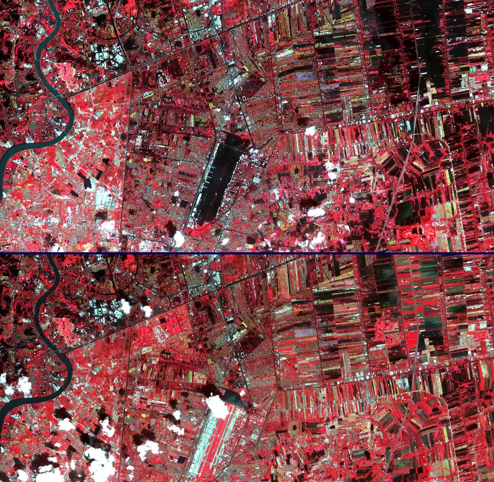
The highest danger zones are low-lying land, hillsides, and waterways close to mountain foothills where accumulated rainfall can trigger sudden flash floods and forest run-off without much warning.
Rough Seas: What Coastal Visitors Should Know
If you are planning a beach or island trip in the next five days, take note:
- Upper Andaman Sea: waves forecast at 2–3 metres, exceeding 3 metres during thunderstorms — DDPM has ordered all small boats in the upper Andaman to stay ashore for the full warning period.
- Upper Gulf of Thailand and lower Andaman Sea: approximately 2 metres, higher during storms.
Mariners are warned to avoid thunderstorm areas. Tourists should keep a close eye on conditions before entering the water and heed swimming prohibitions issued by local authorities.
Even an El Niño Year Can Flood: Important Context
Some readers may be aware that NOAA has confirmed an El Niño event is developing in 2026 — a pattern that typically brings below-average rainfall to Thailand. So why is there a major flood warning now?
The answer is that El Niño reduces the seasonal average rainfall but does not cancel individual heavy-rain events triggered by a monsoon trough passing directly over the country. Short-burst extreme rainfall can still occur even in El Niño years when the right atmospheric conditions line up — and right now, they have. Scientists note that in an era of accelerating climate change, extreme rainfall events are becoming more intense and less predictable, even in years when long-run averages are lower.
How to Prepare: Official Guidance
The DDPM has issued the following practical advice to people in affected provinces:
- Move belongings and electrical equipment to above expected flood levels if your home is in a flood-prone area.
- Check road conditions before travelling through mountainous or flood-prone routes.
- Stay away from waterfalls and caves during heavy rain — they can flood suddenly without warning.
- Small boats in the upper Andaman Sea must remain ashore throughout the warning period.
- Monitor official updates from TMD via hotline 1182 or 0-2399-4012 / 0-2399-4013.
- Check real-time forecasts with our Weather tool and track provincial PM2.5 air quality, which often improves after heavy rain.
DDPM provincial offices have been instructed to monitor river levels around the clock and to pre-position emergency crews and heavy equipment in high-risk zones.
What Happens After July 30?
The current warning is in effect until July 30. The TMD expects conditions to gradually ease as the monsoon trough weakens and moves away from the country. However, July through September remains the wettest part of Thailand's annual monsoon season, and further warnings are possible. Residents in flood-prone areas are advised to continue following official weather updates throughout the coming weeks.
Data as of July 26, 2026. Follow the latest updates at tmd.go.th.
Sources: Nation Thailand · The Thaiger · The Star · Thai Meteorological Department
Sources
Frequently asked questions
- Which provinces face the highest flood risk during July 26–30?
- Eastern Thailand (Chanthaburi, Trat, Chon Buri, Rayong) and the western coast of the South (Ranong, Phang Nga, Phuket, Krabi, Trang) are on red alert for very heavy rainfall. Northern Thailand (14 provinces) and the Northeast (18 provinces) are on orange watch. Bangkok and its surrounding provinces should prepare for localised flooding.
- Where can I get the latest weather updates?
- Follow updates from the Thai Meteorological Department at tmd.go.th or call the weather hotline 1182. You can also check hourly forecasts with our Weather tool.
Related news
 Thailand
Thailand Ranks 8th in the World for Healthcare, 1st in Southeast Asia (2026)
Numbeo's 2026 Health Care Index places Thailand 8th globally with a score of 77.5 and 1st in Southeast Asia, ahead of several European systems.
 Thailand
Thailand Wins 3 Silver Medals at Biology Olympiad 2026 in Lithuania
Four Thai students won 3 silver medals and 1 honorable mention at the 2026 International Biology Olympiad in Vilnius, Lithuania.
 Thailand
Bangkok Pub Fire Kills 27: Thailand's Recurring Safety Crisis Demands Real Reform
A fire at Rong Beer Na Ladprao in Bangkok's Chatuchak district killed 27 people and injured 63 on July 12–13, 2026. Blocked fire exits, no sprinkler system, and flammable decorations — a pattern Thailand has seen before at Santika (2009) and Mountain B (2022).